About LOCATO – Advanced GNSS & RTK Surveying Technology
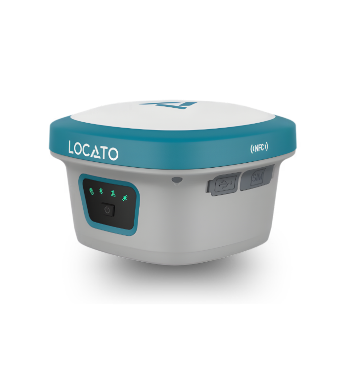
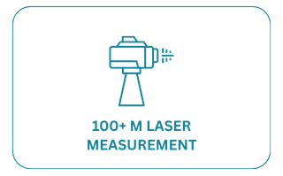
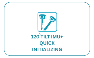
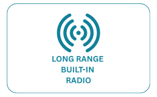
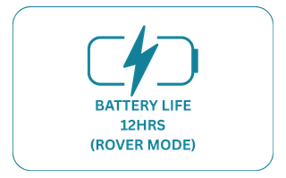
LOCATO is dedicated to delivering advanced GNSS and RTK positioning solutions designed for modern surveying professionals. Our innovative technology integrates laser, camera, and AR capabilities to provide precise, reliable, and efficient field measurements. With a focus on accuracy, durability, and performance, LOCATO is shaping the future of precision positioning worldwide.
Our Mission
To deliver innovative and reliable GNSS technology that empowers surveying professionals with accurate, efficient, and next-generation positioning solutions for modern field operations.
Our Vision
To become a globally recognized leader in precision GNSS technology by continuously innovating advanced hardware solutions that redefine accuracy and efficiency in surveying and geospatial industries.
Trusted By Surveying &
Engineering Professionals
LOCATO intelligent surveying solutions help field teams capture accurate measurements, reduce site errors, and complete projects faster with reliable real-time data.
The LOCATO L2 has completely transformed our surveying workflow.” We used to deal with frequent manual errors, but with laser integration and AR positioning, both our accuracy and speed have significantly improved. Our overall field productivity is now on a different level.